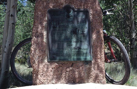
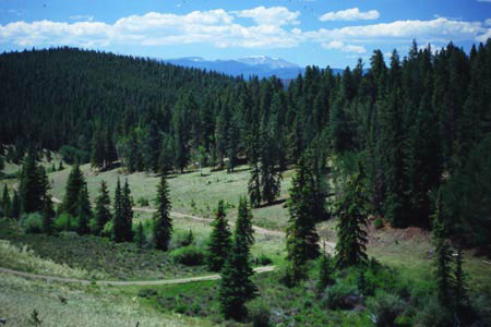
Cochetopa Pass
Highest Point: 10032ft
|
Eastern Approach:
|
climb
|
distance
|
drop
|
from junction with Co119 (8460ft)
|
1572 ft
|
10+1/2 miles
|
200
|
Western Approach:
|
|
|
|
from junction with Co119 (8810ft)
|
1222 ft
|
16+1/2 miles
|
|
from junction with Pinos Pass road
(9010ft)
|
1022 ft
|
12+1/2 miles
|
|