|
|||||||||||||||||
|
|
|||||||||||||||||
| |
|
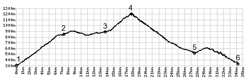
Col de Grand Cucheron
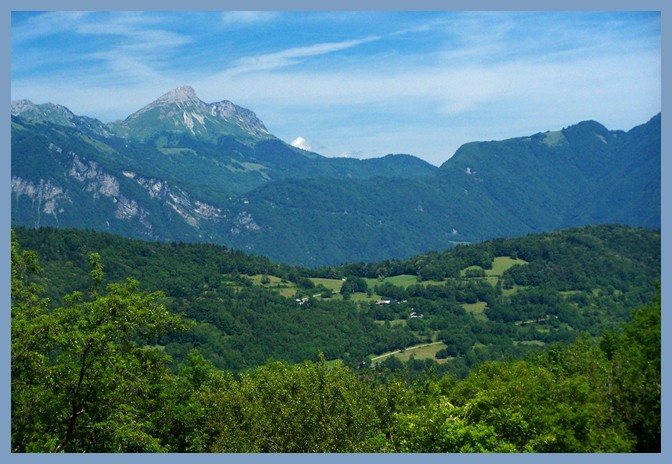
Between the Chaine de Belledonne and the Massif de Bauges
two foothill ranges are sandwiched: the Chaine de Hurtieres
and the still lower and smaller Montraillant. This is the
highest pass in these two foothill ranges of the Belledonnes.
To differentiate it from the nearby Col
du Cucheron in the Chartreuse Plateau, and Grand has
been added, but on at least one map (the IGN 1:100 000 of
Grenoble, Chanbery) the Grand has been replaced with Col de
Petit Cucheron instead.
There is a signed turnoff to a transmission tower here, an
option for a short detour over Col de Champlaurent, and the
profiled route, which heads downhill a short distance into a
small high valley between gently rolling hills. The road uses a
large curve and a few gentle switchbacks in the forest to gain
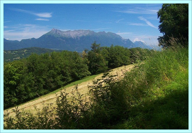
the crest. Here is a picnic table waiting with a view onto the
Chaine Belledonne. A dirt road on the left appears to lead along
the ridge.
From East. While rolling down the long ramps connected
by switchbacks, the forest opens up periodically. The houses
below start taking on shape and the the cows start to be heard,
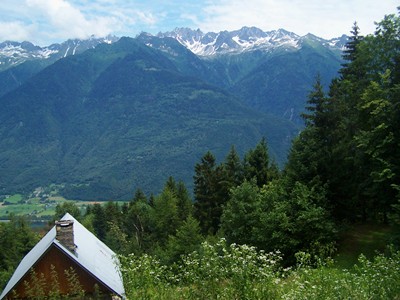
and the peaks above slowly envelop themselves in clouds. The
road meets the bike route running along the Arve valley, not
down in the valley but while it is on a high traverse in the
forest on the west side. The profile turns right and rolls down
to St Alban des Hurtieres. But when completing a loop over this
point, the route will probably turn left to climb a little less
than 300ft to the shoulder summit between St
Pierre de Belleville and Aiguebelle
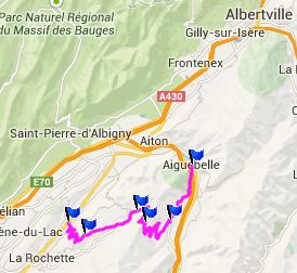
Col de Grand Cucheron , Col
du Marocaz , Col de
Cochette , les Frasses - Coise s(u) : la Ravoire
> Montmelian > Coise > Villard d'Hery > Col de
Cochette > la Table > le Pontet > Col de Grand Cucheron
> St Alban des Hurtieres > D207 Aiguebelle - St Pierre de
Belleville(shp > Aiguebelle > St Laurent > Col du
Marocaz > back to starting point in la Ravoire: 72.6miles
with 7628ft of climbing in 6:55hrs (Garmin etrex30: m4:14.7.1)
History-Cycling: The pass was four times part of a
Tour de France stage: 1072, 83, 98 and 2012.
|
|
|
advertisement |
|
|
advertise
Coisement |