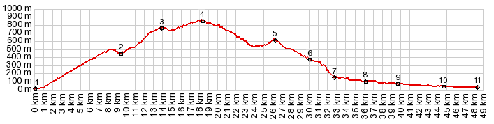
Puerto de Santopilar This is one of the highest summit
points directly north of the Malaga coastal
area. There are a few, that are up to a 100m
higher. But they are also a little further away
from the coast.
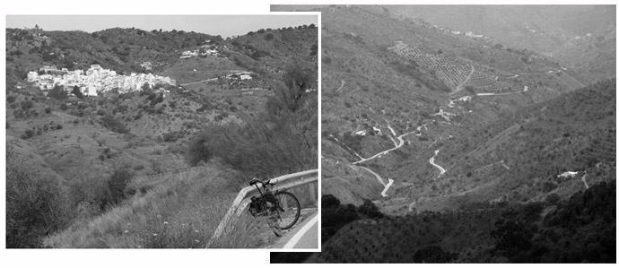
The two approaches meet in Olias, the one and
only village painted white on this side of the
summit. At the junction with the nearby signed
Puerta de la Bolina, this profile stays right and
keeps on climbing to the west. But the road to the
left, over the Puerto de Bolina keeps climbing
gently past the pass also. Back to the Puerto de Santopilar: a curvy road
cut under several transmission towers, comes into
view before the pass is reached. The highest point
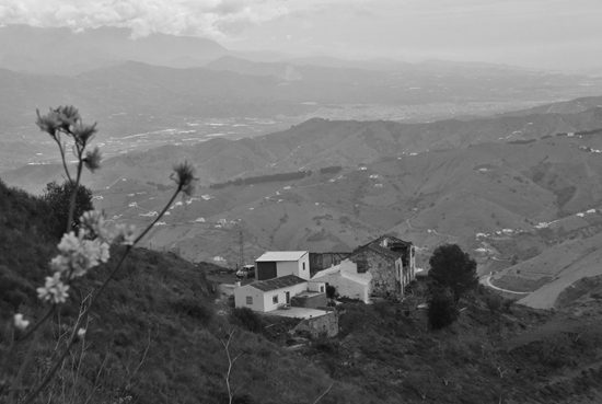
comes a little after the pass. From West. (described
downwards) On the other side the biggest bread
loaf shape in the area appears in view for the
first time, the Sierra de Tejeda. Too bad it is
hidden by rain and clouds when I get there. But
conditions improve a lot between here and the next
summit, Comares s(u).
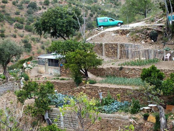
Before getting to the Comares turnoff two
bars/restaurants offer a possibility to escape
potential, adverse climatic conditions. It is
signed Ventorros. the profile bypasses Comares, because I try to
show a direct approach to the highest point. But -
on a first visit - who would want to miss the
biggest tourist attraction along the route ? More
on the Comares s(u)
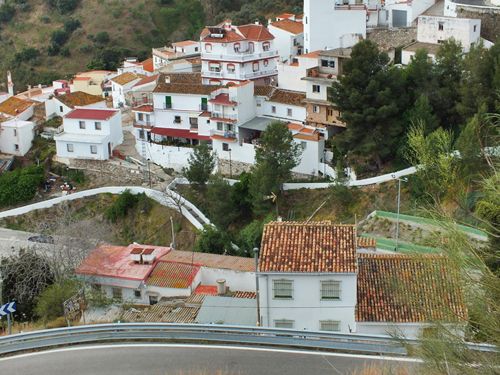
page. The road winds around to present ever new
viewing angles onto the Sierra de Tejeda, and
finally stops its descend at a series of tables,
filled with beer bottles and old men sitting
around them in drunken stupor - in Benamargosa. My
own route, following the "grape loop" turns back
up into the hills to Alto
de Cutar from here. But the profile
continues the rest of the shallow descent to the
coast and Velez Malaga.
Dayride with this point as highest summit: PARTIALLY PAVED/ UNPAVED: ( < | Puerto
de El Torcal > ) |
||||||||||||
|
|
advertisement |
|
|
advertisement |