|
|||||||||||||||||
|
|
|||||||||||||||||
| |
|
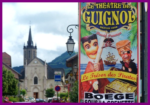
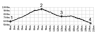
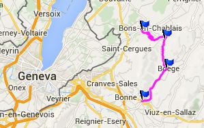
Col de Saxel
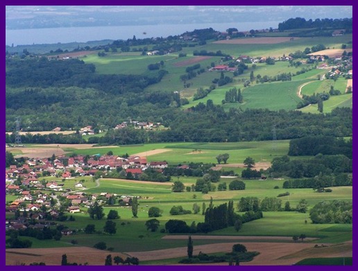
South of Lake Geneva, a few low forested ridges separate the
plain next to the lake from the high alps. This road is the
lowest paved pass over this ridge. It's a pleasant forest
ride with little traffic.
From South. It stretches at
least a km down this side. The road descends into a shallow
valley, and there are no views of distant high peaks. For that
you have to cross the next ridge to the east.
|
|
|
advertisement |
|
|
advertisement |