Chalk Creek
Pass
Max Altitude: 12140ft
|
Eastern Approach:
|
|
|
drop
|
from junction with Co162
(7730ft)
|
4410ft
|
24 miles
|
~200ft
|
from Princeton Hot
Springs (8190ft)
|
3950ft
|
20 miles
|
~200ft
|
Saint Elmo (10040ft)
|
2100ft
|
7+1/2
|
|
Western Approach:
|
|
|
|
from Poncha Springs (7530ft)
|
4610ft
|
17 miles
|
|
from junction US50 and Chalk
Creek Pass road (9640ft)
|
2500ft
|
5 miles
|
|
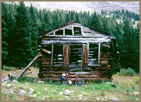
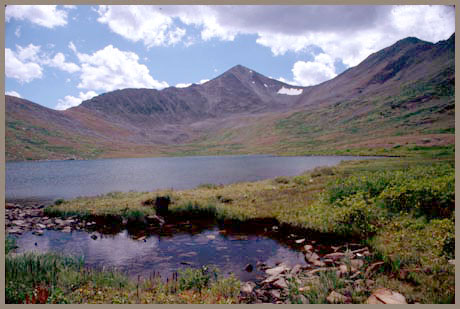
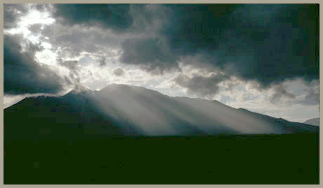
| Pictures: last
picture was not taken from a point on the
elevation profile, but while completing a
day ride over the pass through Arkansas
Valley. |