< Left Panel
Colorado Summits and Passes
Areas
Tables
Maps
All Favorites
Main Panel:
Main Page
Map+Profile
Colorado Map
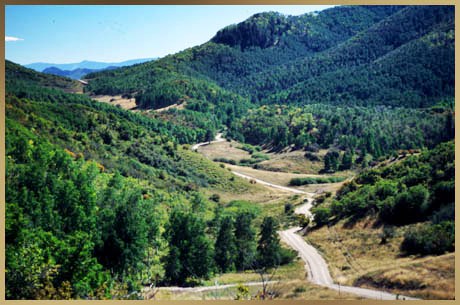
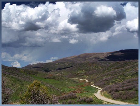
Dick Pass
Highest Point:
8153ft
Northern Approach:
climb
distance
drop
from Meeker (6210ft)
1943ft
17miles
~300ft
Southern Approach:
from Rifle (5290ft)
2863ft
23miles
~200ft