FR300
summit(u) (Summary)
Highest Point: 9900ft |
|
| Western Approach: |
|
|
drop |
| from jct: Divide Creek rd. -
CR south of Colorado River (5470ft) |
4430ft |
32miles |
~800ft
|
| from jct with route to Coal
Ridge (8410ft) |
1490ft |
15miles |
~800ft
|
| Eastern Approach: |
|
|
|
| from bridge over Roaring Fork
River, south of Glenwood Springs (5800ft) |
4100ft |
17miles |
|
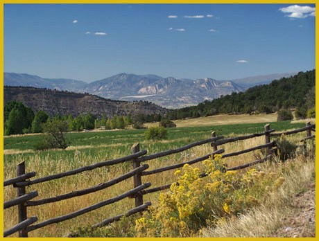
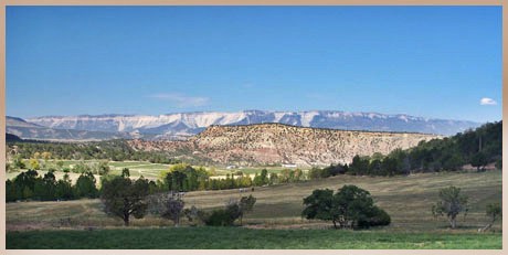
Pictures:
taken on the lower part of the East Divide
Road, which can also serve as approach to
the Gibson
- East Creek summit(u), FR801
summit(u): Flagpole Mountain, FR805
shoulder summit: Road Gulch and the FR800-812
shoulder summit: Haystack Gate area.
back to
Colorado Pass Tables Page |