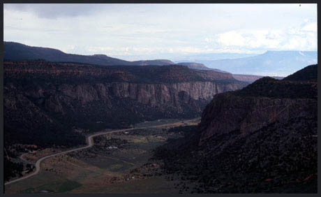
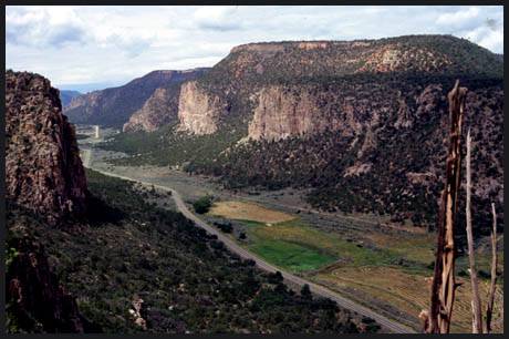
Gill Creek
Divide (Summary)
Highest Point: 8380ft
|
Northern Approach:
beginning paved, followed by portage up
horse trail
|
|
|
from junction Co141 with
Divide Road via Unaweep Divide (6610ft)
|
1770ft
|
9+1/2miles
|
from junction Co141 with
trail to Uncompaghre Plateau (7000ft)
|
1380ft
|
3miles
|
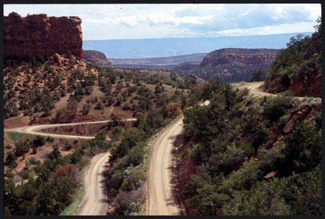
Southern Approach:
dirt road/ double track/ single track
|
|
|
from junction Co141 with
Divide Road via Divide Road (6610ft)
|
1770ft
|
10+1/2miles
|