< Left Panel   Colorado Summits and Passes   Areas   Tables   Maps   All Favorites  
Main Panel:   Main Page   Map+Profile   Picture Page   Colorado Map  


Marcellina Pass (Summary)

Highest Point:
10325ft

Western Approach:


drop
from junction Co133 - Kebler Pass Road (6310ft)
4015ft
24+1/2miles
~300ft
from Horse Ranch Park (8840ft)
1485ft
7+1/2miles
~100ft
Eastern Approach:


from Crested Butte (8910ft)
1415ft
8miles


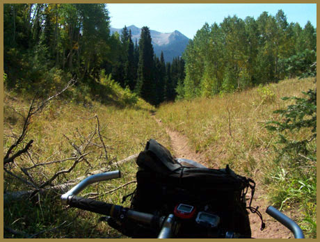
Picture above taken on the Dyke Trail approach to the pass. This single track approach leaves Kebler Pass at Horse Ranch Park and is not represented in the table ( since I don't have the elevation data)