Mosca Pass (Summary)
Highest Point: 9740 ft
|
Eastern Approach:
dirt road/jeep trail
|
|
|
from Gardner (6995 ft)
|
2745ft
|
19miles
|
Western Approach:
single track, may be legally closed to
bicycles
|
|
|
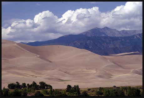
from Sand Dunes National
Monument (8298ft)
|
1442ft
|
4miles
|
jct: Mosca
Pass Trail - US150 (8263ft)
|
1477ft
|
3miles
|