< Left Panel
Colorado Summits and Passes
Areas
Tables
Maps
All Favorites
Main Panel:
Main Page
Map+Profile
Colorado Map
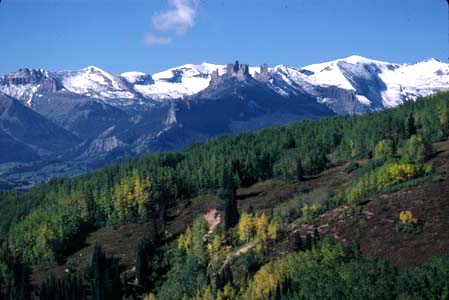
Ohio Pass
Highest Point:
10093 ft
Northern Approach:
dirt road
from Crested Butte (8914ft)
1179 ft
8 miles
Western Approach:
dirt road
from Gunnison (7703ft)
2390 ft
25 miles
from Baldwin Mine turnoff (8603ft)
1490 ft
7 1/2 miles