FR123 
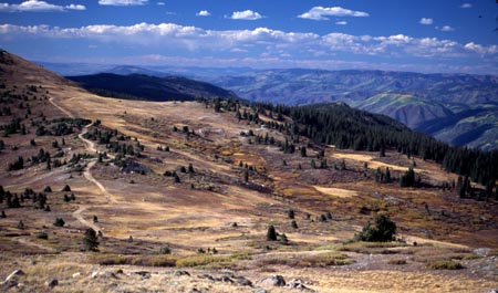
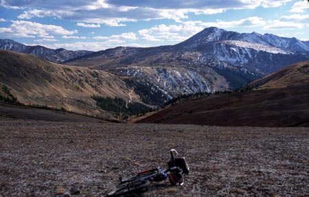
summit(u): Richmond Hill
The route over Richmond Hill and adjacent high points is
the most alpine ride in the Aspen area, staying above
11000 feet for over 12 miles, even longer when connecting
to Taylor Pass. See the
Taylor Pass page for that option, which replaces the
section between point 9 and 10 in the profile with another
higher summit. Some of the pictures on the Taylor
Pass page apply equally to this summit. This page
concentrates on the option of omiting Taylor Pass from the
route. A short single track can be used to cut off the
Taylor Pass summit from the F123 route, in effect
establishing a different summit along the route. The route
is also called by other hills and mountains along the
road, such as Ashcroft Mountain and Gold Hill. The last
option is particularly confusing since there are other
Gold Hills in the area.
The ridge occupied by Richmond Hill is located between
Castle Valley and the route used by Independence
Pass to thread itself into the Sawatch Range. FR123
is a vantage point onto the vertically sculpted faces of
the Elk Range and to a smaller degree the massive hulks
of the Sawatch.

click on profile for more detail
|
01.(m00,7910ft) START/END NORTH-EAST:
downtown Aspen
02.(m01,7920ft) turn left onto Castle Creek Valley
road.
03.(m04,8330ft) turn left up steep dirt road up
Queen's Gulch
04.(m08,10670ft) stay left at this fork
05.(m09,11220ft) go right up Richmond Hill. Route
from Aspen ski area joins at this point from left.
06.(m11,11445ft) high point on Richmond Hill
07.(m15,11010ft) low point past Richmond Hill
08.(m19,12290ft) TOP: high point between Gold Hill
and Ashcroft Mountain
09.(m20,11910ft) single track trail to the right
cuts off the top of Taylor Pass. Profile continues
on this single track.
10.(m21,11490ft) single track joins northern
approach to Taylor Pass road.
11.(m24,9430ft) Taylor Pass road joins paved road in
Castle Creek Valley. Go right
12.(m32,8330ft) same as point 3
13.(m35,7920ft) same as point 2
14.(m36,7910ft) START/END NORTH-WEST: downtown
Aspen; same as point |
Approaches
From North East. see the Taylor
Pass page for a description up to point 7. Ahead lies a
gently sloping tundra saddle. Taylor Pass forms the middle
ground in a high alpine scene backed by Taylor Peak.
Once the high point is crossed, a single track trail heads
directly for a zig zag in the northern approach of the Taylor
Pass road, cutting off the summit of the pass. The bottom most
picture on this page is taken slightly above this
junction.This short cut is especially attractive when
deteriorating weather makes a continuation over the highest
part of the route to Taylor Pass questionable.
From South East. See Taylor Pass
page for a description between points 14 and 9. Riding the
shortcut described above in an upward direction may seem like
an attractive option to escape the rocks on the upper part of
the jeep road. But it also bypasses some of the best scenery
along the way. Points 8 to 1 are again covered on the Taylor
Pass page.
Tours
Dayrides. A ride starting on Co82 at the
turnoff to Snowmass Village, continuing on bike trails to the
entrance of Castle Valley, up the north eastern approach of
the route described here, down the south eastern approach back
to the starting point, measured 67 miles with 7500ft of total
climbing (m3:02.09.24).

back to Colorado Pass
Tables Page
|