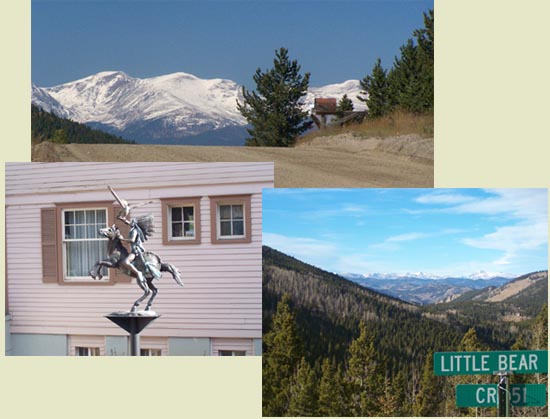
from Idaho Springs via
little Bear Creek (dirt) rd (7540ft)
2260ft
7+1/2miles
Eastern Approach:
from Wheat Ridge, Clear
Creek bike path - Kipling Ave. (5360ft)
4440ft
29+1/2miles
from Bergen Park (7800ft)
2000ft
9miles
The profiled western approach
is a direct dirt road from Idaho Springs. For
the paved road approach, that also goes over
Juniper Pass, see Juniper Pass.