|
|
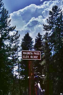
Waunita Pass
Highest Point: 10303ft
|
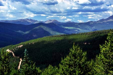
Western Approach: dirt
road, paved
|
climb
|
distance
|
drop
|
from Parlin (7950ft)
|
2553ft
|
20miles
|
~300ft
|
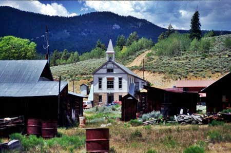
from Pitkin (9180ft)
|
1123ft
|
5miles
|
~300ft
|
Eastern Approach:
|
|
|
|
from
Doyleville (8060ft)
|
2243ft
|
14miles
|
~100ft
|
from Waunita Park (8990ft)
|
1313ft
|
6miles
|
~100ft
|
|
|
|