< Left Panel
Colorado Summits and Passes
Areas
Tables
Maps
All Favorites
Main Panel:
Main Page
Map+Profile
Colorado Map
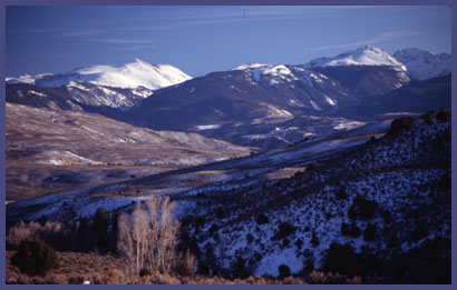
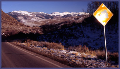
Co131 summit(u): State Bridge - Walcott
(Summary)
Highest Point:
8250ft
Northern Approach:
drop
from Colorado River Bridge at State Bridge (6740ft)
1510ft
5miles
Southern Approach:
from Walcott (6950ft)
1300ft
9miles
~200ft