|
|||||||||||||||||
|
|
|||||||||||||||||
| |
|
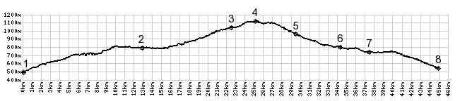
D236 La Houile(sh)
I came across this
summit point while cycling from the top
of Col de Jambaz to Col de Teramont.
Both of these are low passes south of
Lake Geneva. But going over either pass
is not a necessary condition to make
this the highest point on a profile. And
so this point gets its own page.
Here the profile takes a right and climbs
a little further to the village la Houile.
There are no real views from here, even if
it is the highest point. From South. (described
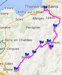
downwards). A short straight roll leads to
a junction with another small road
following a high foothill valley, D22.
Shortly after that the profile passes Col
de Terremont, a completely inconspicuous
location on a gentle saddle. The profile
continues down the valley through Habere Poche, where many other low pass roads
converge, onwards through Boege - a nice
place to rest and pick up groceries - and
ends in "Le Pont de Fellinges". A Dayride with this point as intermediate
summit is on page: Col d'Ajon 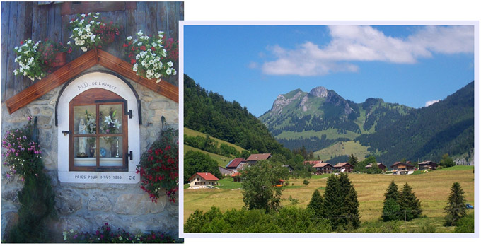 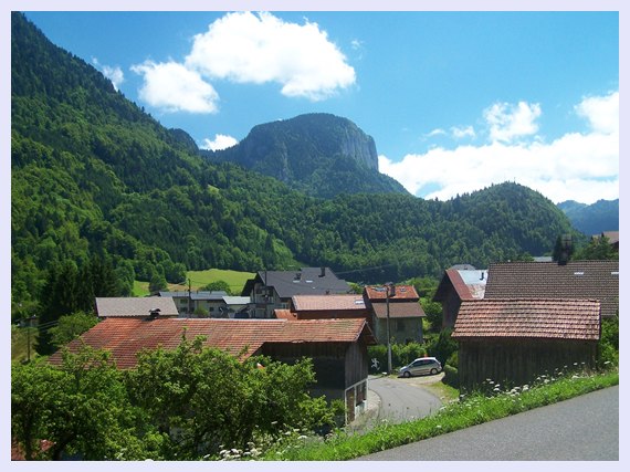 |
|
|
advertisement |
|
|
advertisement |