| |
| |
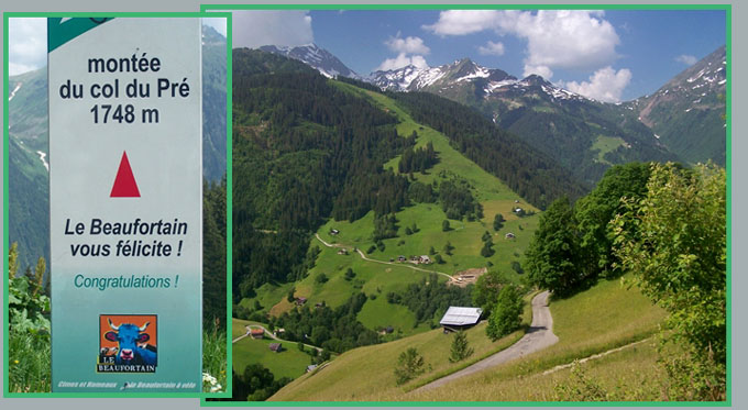
Monte du Col du Pre
The Col du Pre
connects the valleys of two great reservoirs, the
Barrage de Roselend, and the smaller Barrage de
Guerin. The only way to construct a loop with this
as the highest point, both approaches have to
originate in Beaufort (considering paved routes
only). Col du Pre can also be readily added to a
loop ride over the higher Cormet de Roselend.
The name "Monte de Col du Pre" is taken from a
sign at the top of the road, which reaches a
little higher than the pass itself.
descending Col du Pre to Lac
de Roselend 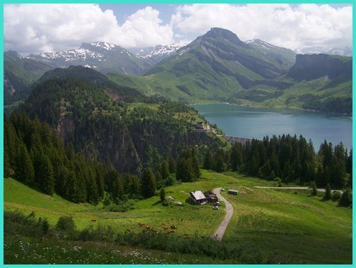
From West. Traffic between Beaufort and
the ski town of Areches can be pretty busy in the
morning hours. The road uses a few switchbacks
just to get out of Beaufort, delivering a close up
view of the upper stories of the old town
buildings. After that the road stays in the valley
to Areches. The junction between the roads to the
two "barrages" comes after having entered this
town, consisting of widely spread out tourist
homes. Past this junction the road starts climbing
the ridge to the west in seemingly never ending,
regular switchbacks, passing through several parts
of the town of Boudin. The top is a popular
pique-nique site with an adjacent, rustic mountain
hut. But the point of highest altitude comes a
little later, and the expected Beaufort cow is
there to congratulate you on your cycling conquest
(on a sign). From East. A even more interesting view
opens up on this side, just past the summit as you
pass a small farm. Above the large reservoir a
block shaped mountain gives the scene a vertical
edge. It's the Aguile de Grand Fond (2889m). The
road quickly descends the few hundred feet to the
reservoir, and then crosses it on its damn. A few
small hills through the forest lead to the
junction with the Cormet
de Roselend approach from Beaufort. The
profile turns left and descends.
top
left: looking onto road to Barrage de Guerin and
Col d'Areches, while climbing west side of Col du
Pre A Dayride with this pass as intermediate summit is on page: Cormet d'Areches The last pass with different start and end points on this Extended Tour was: Cormet de Roselend
|

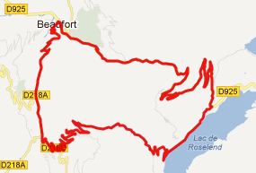 Approaches
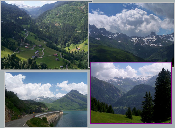
|
|
advertisement |
|
|
advertisement |