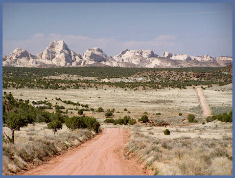
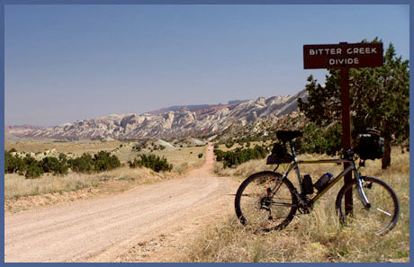
Bitter
Creek Divide (Summary)
Highest Point: 5710ft
|
Northern Approach:
|
|
|
drop
|
from junction Notom rd - Ut24
(4990ft)
|
720ft
|
24miles
|
~900ft
|
Southern Approach:
|
|
|
|
from Bullfrog Bay campground
(3700ft)
|
2010ft
|
36miles
|
~900ft
|
from junction with Burr Trail
(5000ft)
|
710ft
|
9miles
|
|