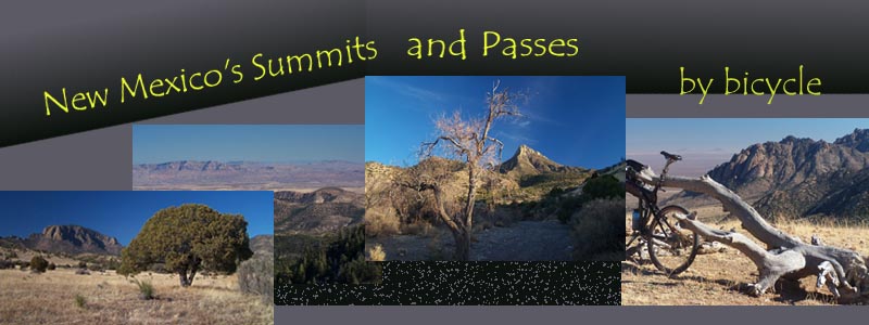
The Sangre de Cristo
Mountains in the north
of the state are
crossed by routes used
since Spanish colonial
times, or even earlier
by indigenous people.
These are the highest
passes in the state
and are a land of cool
forests even in the
summer. As you go
south historic passes
become more and more
wide shallow gaps
between alluvial fans,
reaching up to dessert
mountain ranges. But
even in the land of
large private land
grants, trails and
dirt roads reach up
high into the
mountains. In New
Mexico you don't have
to stop cycling
summits in the winter.
The south has large
climbs that are snow
free for at least the
largest part of the
winter.
The tables below
currently contain 16
passes, including 6
unrecogniced summits
All the
passes/summits in the
tables are also linked
in this map, plus some
others under the "more"
checkmarks:
Any
table or map for any
area can be accessed
from any of the
newer style pages
with 2 clicks on the
navigation bars.
First select "Areas"
etc on the top line,
then select the area
or table on the left
navigation pane.
Alternatively all of
the tables and maps
for the current area
are also listed on
the second line on
the top.