California
Pass (Summary)
Highest Point: 12930ft
|
Southern
Approach:
|
|
|
from low
point between Hurricane Pass and
California Pass (12300ft)
|
630ft
|
1/2mile
|
Northern
Approach:
|
|
|
from Sliverton via
California Gulch (9300ft)
|
3630ft
|
16+1/2miles
|
from Animas Forks
(10960ft)
|
1970ft
|
5miles
|
Western
Approach:
|
|
|
from junction Red
Mountain Pass road with
Poughkeepsie Gulch rd (8860ft)
|
4070ft
|
6miles
|
Pictures:
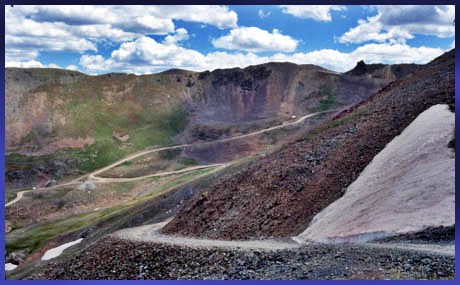
Picture 1 shows the dip between
Hurricane Pass and California Pass
from Hurricane Pass.
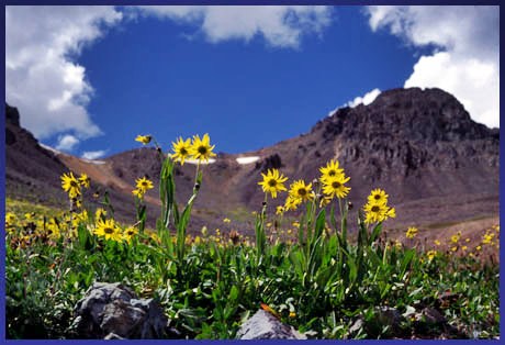
Picture 2 is taken in California
Gulch, looking to the summit
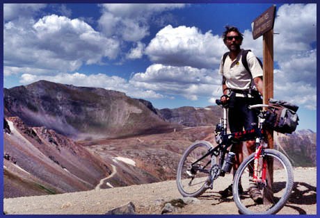
Picture 3 : top of California Pass
|