Douglas
Mountain Drive shoulder summit (Summary)
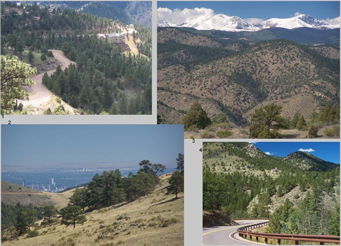
Highest Point: 8240ft
|
|
| Eastern Approach: |
|
|
drop |
| from Wheat Ridge, Clear
Creek bike path - Kippling Ave. (5360ft) |
2880ft |
19+1/2miles |
~400ft
|
| from start of Golden Gate
Canyon Road (5930ft) |
2310ft |
11+1/2miles |
~400ft
|
| Western Approach: |
|
|
|
| from jct: Douglas Mtn Road
- Co119, south of Blackhawk (6950ft) |
1290ft |
3miles |
|