| |
| |
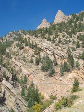
Hardscrabble Pass
This is a relatively low pass
with little traffic in the Wet Moutains. It used
to be included in a 100mile ride, organized by a
Colorado Springs cycling club, the Hardscrabble
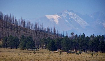
Century ride. It's main attraction are far views
of the Sangre de Cristo range as you descend into
the Wet Mountain Valley.
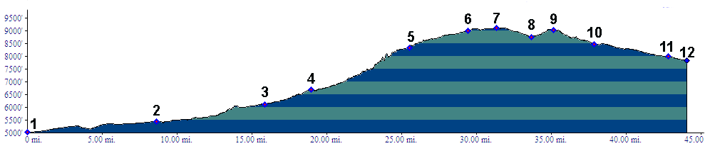
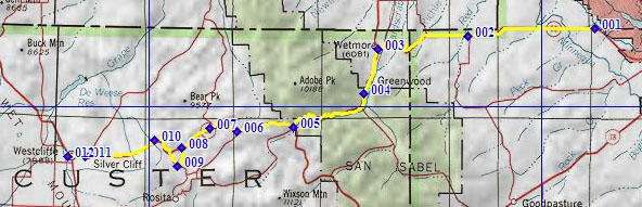 Approaches From East. To maximize the elevation gain
the profile starts just west of Pueblo. The
description starts at point 3, in Wetmore. Here
the profiled option meets another lower approach
possibility, Co67, coming from the north and
Florence. The latter was the route of the
Hardscrabble century ride. Below Wetmore the climb is barely noticeable.
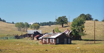
Wetmore has a convenience store (don't know if
it's open) a few residential buildings, and of
course a baptist church. The road climbs steadily
from here, clinging to the valley bottom and
making a few turns, none of which change the
direction of the road to anything other than
westerly. Approaching the top FR347 Rosita Road
branches off on the left and goes to a summit
point, comparable with Hardscrabble Pass, just a
little bit higher and with a little bit better
view. But then you have to ride on dirt. The book
"Passes of Colorado" lists the elevation at
9300ft. But tracing the route on a topo map,
9100ft seems to be closer to the real value. From West. (described downhill). There is
no sign at the top. But the Sangre de Cristo Range
comes into view at the pass. But it may be lost in
the haze if the wind comes from the south. The
road stays at roughly summit altitude in open
meadows for a couple of miles. So the view of the
range gradually improves. Dirt road turnoffs on
the right offer ways to cross the same ridge and
connect to points on the plains further north.
Listing them in order west to east, they are:
CR271, CR260 Brush Hollow Rd, CR255 Oak Creek
Grade Rd.
Dayride with this point as highest summit: PARTIALLY PAVED/UNPAVED: (|FR400
Gardner Rd s(u)>) COMPLETELY PAVED: Hardscrabble Pass: Florence > Co67
south > Co96 west > Hardscrabble Pass >
Westcliff > Co69 north > Cotopaxi > US50
down Arkansas Canyon > unspecified route
through Canyon City back to Florence: 101miles
(mech Odo: r2:85.9.15) |
|
|
advertisement |
|
|
advertisement |