|
 pic
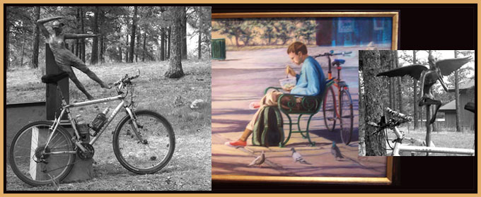
location: Bergen Park art gallery, a few hundred
feet off the route, behind the Rec Center in
Bergen Park pic
location: Bergen Park art gallery, a few hundred
feet off the route, behind the Rec Center in
Bergen Park
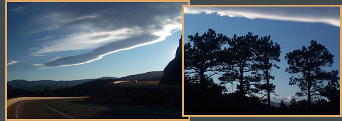
pic location:
left: almost the highest point on Evergreen
Parkway from jct with Kerr Gulch
right: and west from same location
Co74 Bergen Park(sh)
Highest Point: 7840ft
|
| Southern Approach: |
|
|
drop |
| from Morrison, jt
C470-Bear Creek Canyon, via Evergreen
(5720ft) |
2120ft |
17+1/2miles |
~200ft
|
| from Evergreen (7080ft) |
760ft |
6miles |
~200ft
|
| Eastern Approach: |
|
|
|
| from Wheat Ridge, jct
Clear Creek bike path - Kipling Ave, via
Mount Vernon Canyon (5360ft) |
2480ft |
19miles |
~100ft
|
| from start of Mount
Vernon Canyon Rd (6400ft) |
1440ft |
9miles |
~100ft
|
Southern Approach 2:
|
|
|
|
| from Morrison, jt
C470-Bear Creek Canyon, via Kerr Gulch
(5720ft) |
2120ft
|
13+1/2miles
|
|
Northern Approach:
|
|
|
|
from jct: eastern part of
Soda Creek Rd - US40 (7230ft)
|
630ft
|
2+1/2miles
|
|

|