| |
| |
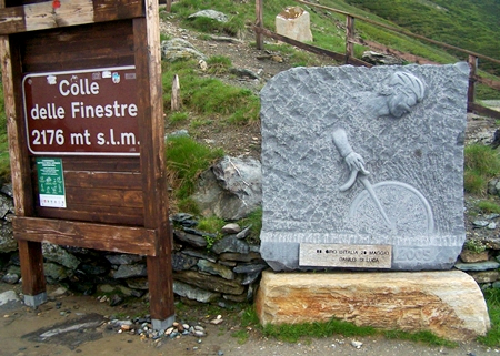
Colle delle Finestre
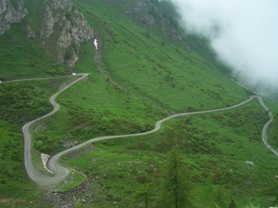
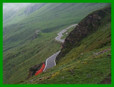
This pass contains a 8 km long unpaved section, but
it is still popular with many road bike riders. The
reason for such a thing is always a famous bike
race. In this case the Giro D'Italia of 2005 and
2011 climbed the unpaved side and descended a
freshly paved south side. I have seen both
designation Colle (hill) and Passo or Col
(pass) used for this high road.
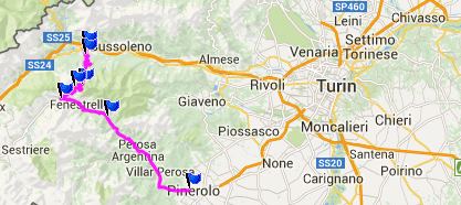
In Susa I discovered that there is actually a
bicycle road up and down the Susa Valley - a
little late. But it is longer than the direct
road, and for a heavily loaded touring bike it may
take a while to find. In Susa the main routes to Col Montgenevre
and Col Mt Cenis
separate. To pick up the signed turnoff to Col
Finestre you follow the southern route around
Susa, heading for Col Montgenevre. A quiet, narrow road climbs through forest alive
with the sound of birds to Mena de Susa, only 100
hundred meters higher, but it seems like more.
Here the main raill ine crosses over the road on a
massive pedestal. There are signs for a hotel here
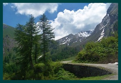
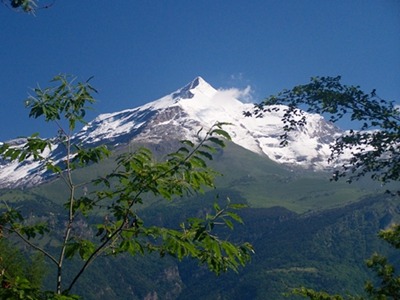
too. Weather conditions blow a hole into the clouds on
he south side, and so snow capped peaks float
footlessly above a green glowing valley, dissected
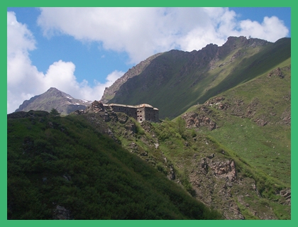
by tracks trying to climb out of it. A short walk
to the north leads to a massive fortification.
Next to the pass sign is a relief of the cyclist
reaching this top first in the 2005 stage, Danilo
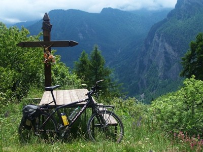
di Luca, even if a Venezuelan won the stage. Just after that the turnoff for the Assietta Ridge dirt
road on the right, I reach a picnic table
below a picturesque crucifix, an opportune place
for me to say thanks, that I was hurt, but not so
seriously to stop riding. But when the time came and WW1 broke out, all the
fortifications in the western alps were abandoned,
because the war front was further east in Austria.
It was decommissioned in 1928, but unlike other
fortifications in the area was still used for
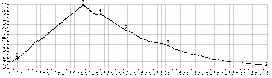
logistical functions such as ammunition depot Cycling: The narrow thread of pavement that winds up the north side, was laid down especially for the descent in the 2005 Giro d'Itlia stage. The surface on the north side was also improved for the race by pressing the surface hard. The partially unpaved climb was included again in the Giro of 2011 and is planned to be the highest point of the 2015 Giro. The 8 km unpaved section of switchbacks at the top remains. Dayride: PARTIALLY PAVED / UNPAVED Colle delle Finestre , Col de Sestriere
: Susa > with detours to start of Via Colle
Finestre > Colle Finestre > Fraisse >
Pragelato > Col de Sestriere > Claviere >
Ouix > back to starting point in Susa with a
shopping detour: 64.7miles with 8461ft of climbing
in 7:16hrs (Garmin etrex30: m4:14.6.16) The last day over a pass on this tour is
on page: Passo de
Gavia
|
|
|
advertisement |
|
|
advertisement |