| |
BLM 23-8-28/36.1: Elliot
State Forest(sh)
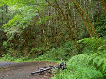
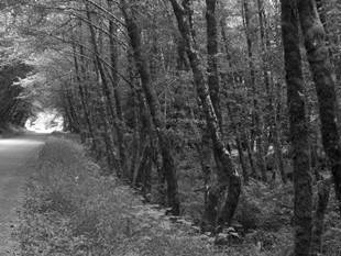
The Elliot State Forest seems
like it's just made for road biking. This
profile follows one of the principal
thoroughfares through the forest, Camp Creek
Road. On this orad I saw less than 5 cars, but
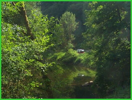
probably more than 5 million trees. Pictures
on this page were taken on the lower section
of Camp Creek Road. That road can lead to many
other summit points. Also: to approach this
summit you do not have to use that part of the
road in the pictures.
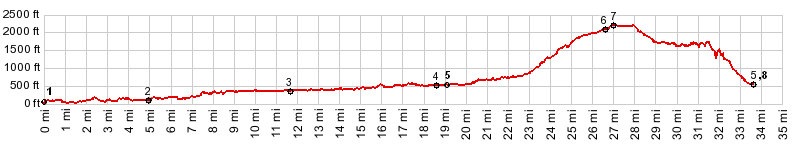
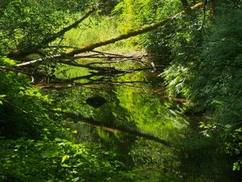
From West. This profile
follows all of Camp Creek. Along the way are
tempting turnoffs into forest tunnels: Buck
Creek Road, Otter Creek road and others. Many
types of forest are visible from the saddle. But
the mossy vegetation enveloping Camp Creek on
the lower and middle stretches are the most
fascinating. The climbing does not really start
till after the junction with Lindy Bridge Road.
This turnoff is labeled, but you have to look
closely. After the main climb the road
arrives at a function of four paved roads.
Continuing straight would also lead
downhill,while both left and right turns seem to
go uphill The profile turns left along labeled
BLM 23-8-28, although the de Lorme Gazeteer maps
label this as 23-8-36, while Google Maps labels
it BLM 25-7-5.1. The road quickly crests in the
forest. As an aside, the road to the right (also
BLM24-8-28) goes to a higher elevation
(BLM23-8-28): Elliot State Forest s(u)) From South. (described
downwards) There must be a valley below there
somewhere in the trees, one hast to imagine but
you can't see it. There are numerous labeled
paved turnoffs. After a while a sign informs me
that I was now on BLM22-19-18.0 Luchsinger Creek
Rd. Again none of the labels on Google Maps
correspond to this. My ride, following the
route that seemed the most traveled, lead me
back down to Camp Creek Road. The junction at
the bottom labels this as going up Smith Ridge
Road 83-9-13.1
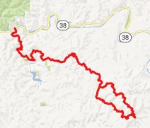
Dayride COMPLETELY PAVED: ( < Buck Creek Road
s(u) , Camp
Creek Road /BLM 25-7-5.1 s(u) > )
 campsite on lower Loon Lake Road - |
|||||||||||||||||||||||||||||||
 Approaches
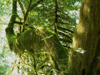
|
|
advertisement |
|
|
advertisement |