| |
| |
Luther Pass
Luther Pass is a nice
climb south of the busy resort town of
South Lake Tahoe. This is a monumentally
wide road with a huge shoulder, that is
not destroyed by rumble strips, just like
in the days when bicycling on US highways
was not dangerous at all - before the
invention of rumble strips. There are also
one or two fair views along the way on the
western side.
Approaches 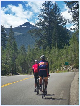
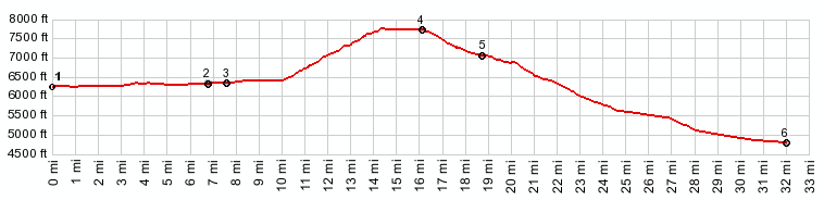
From East. Leaving
South Lake Tahoe on busy US50, the road barely
gains elevation, even though it feels like it
must be climbing, since you are riding away
from a lake, ringed by mountains. Much of the
traffic disappears when this route turns left
onto Ca89. There is either a wide shoulder
without rumble strips, and also a bike path
next to the golf course on this lower part.
Soon there seems to be a crease in the road,
as the grade abruptly increases. From West. (described downwards) But as you roll down the other side, a nice view of the main range in the Sierra Nevada appears to the west, somewhat obscured by trees. On a bicycle you have time to stop and admire it. All the cars seem to stop just after that, at the jct between Ca89 and Ca88, just when they realized they missed something. The profile turns left and the
bike rolls at full speed down Ca88 to
Woodfords. The placename Sorensens on the map
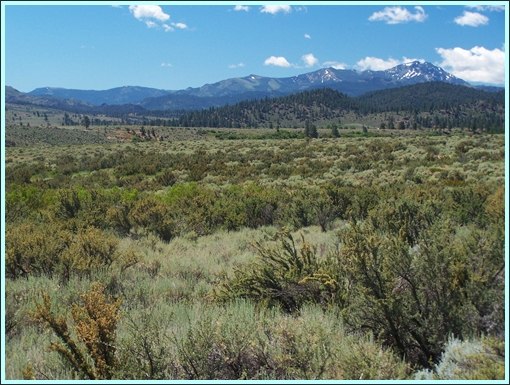
is just a resort hotel. Even after entering
Carson Valley, the bike keeps on rolling for
some distance north, as the road descends the
huge alluvial fan at the mouth of the canyon. 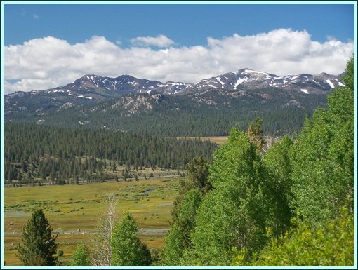 Sierra Nevada Range from east side of Luther Pass Dayride: COMPLETELY PAVED: ( <Edwards
Creek(sh) | Tahoe
Rim Trail: section Armstrong Pass - Daggett
Pass > ) |
|
|
advertisement |
|
|
advertisement |