| |
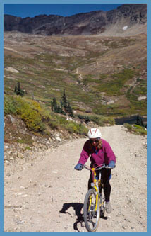
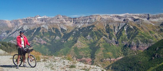
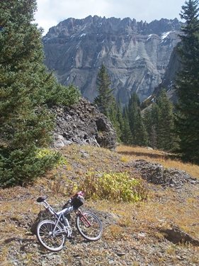
Cycling
Summits and Passes by Area
Alamosa/Antonito
Area: Arkansas
Canyon Area: Bailey
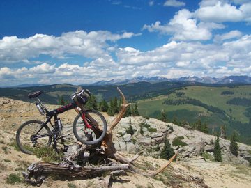
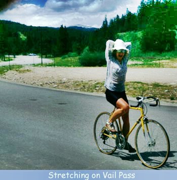
Area: UNPAVED: Breckenridge
Area: UNPAVED: Colorado
Springs Area:
Denver Area: Fort
Garland Area: Fruita Area: Georgetown
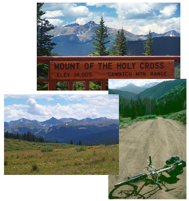
Area: Glenwood
Springs/ Silt Area Grand Junction
Area
La
Veta Area: Engineer
Pass
Slumgullion Pass alternate summit FR867 Alpine Plateau Road s(u) Montrose Area: PAVED: Blue Mesa Summit UNPAVED FR402 South Divide Road s(u) Divide Road s(u) Norwood Area: PAVED: Gypsum Pass Pagosa Springs Area: PAVED: Wolf Creek Pass Paonia Area: UNPAVED: Interocean Pass Ridgway Area: PAVED: Dallas Divide UNPAVED Owl Creek Pass FR766
Fairview Mine s(u)
Cumberland Pass Westcliff Area PAVED Hardscrabble Pass UNPAVED CR260 Brush Hollow Rd(sh) FR400 Gardner Rd s(u) FR401 Deer Peak s(u) Saguache Area UNPAVED: Hayden Pass FR890 Round Mountain(sh) Ute Pass Medano Pass Salida Area PAVED Monarch Pass Poncha Pass UNPAVED FR869 Toll Road Gulch s(u) - this old toll road of Otto Mears has everything that a named pass has, except maybe a well known name. Marshall Pass Colorado Trail m271.1 (sh) Silverton Area PAVED Red Mountain Pass UNPAVED Hurrincane Pass Sunnyside Saddle Rolling Mountain Pass Steamboat Springs Area -PVD: Rabbit Ears Pass Muddy Pass - Middle and South Park meet at the gentlest of Colorado passes; -at least partially UNPAVED or TRAIL: Co134 east of Tonopas - this route also goes over unpaved the Lynx Pass; But this point on a paved road is slightly higher Old Rabbit Ears Pass -not just a jumping off point for trails above, but mostly. Wyoming Trail s(u) - bicycles and every other sort of motor contraption are allowed on this part of the Continental Divide Trail FR42 Mill Creek Rd s(u) - a high point on the Great Divide bike touring route; nice view into Hahn's Creek Basin from just barely above treeline FR500 Red Dirt Park - Hog Park Res s(u) - crossed the continental divide trail in utter pine beetle devastation CR62 Steamboat Lake(sh) Columbine Pass - possibly the best paved out and back ride from Steamboat Springs. The other side is not so paved. FR411 Hahn's Peak s(u) - this is one of the lower points on the slopes of Hahn's Peak, the most obvious landmark of North Central Colorado FR150 Hayden - California Park s(u) - ranchland road through attractive and isolated plateau scenery - the second Colorado FR150 California Park - Savery s(u) - northern Colorado plateaus at their best; partially also part of Great Divide bike touring route. CR52 Wolf Creek s(u) - nice to know it's there, in order to complete a loop over other summits. - |
|||||||||||||||||||||||||||||||||||||||||||||||||||||||||||||||||||||||
|
|
advertisement |
|
|
advertisement |